Drone survey and mapping software for construction, earthworks and quarriesFly the site.
Get the number.
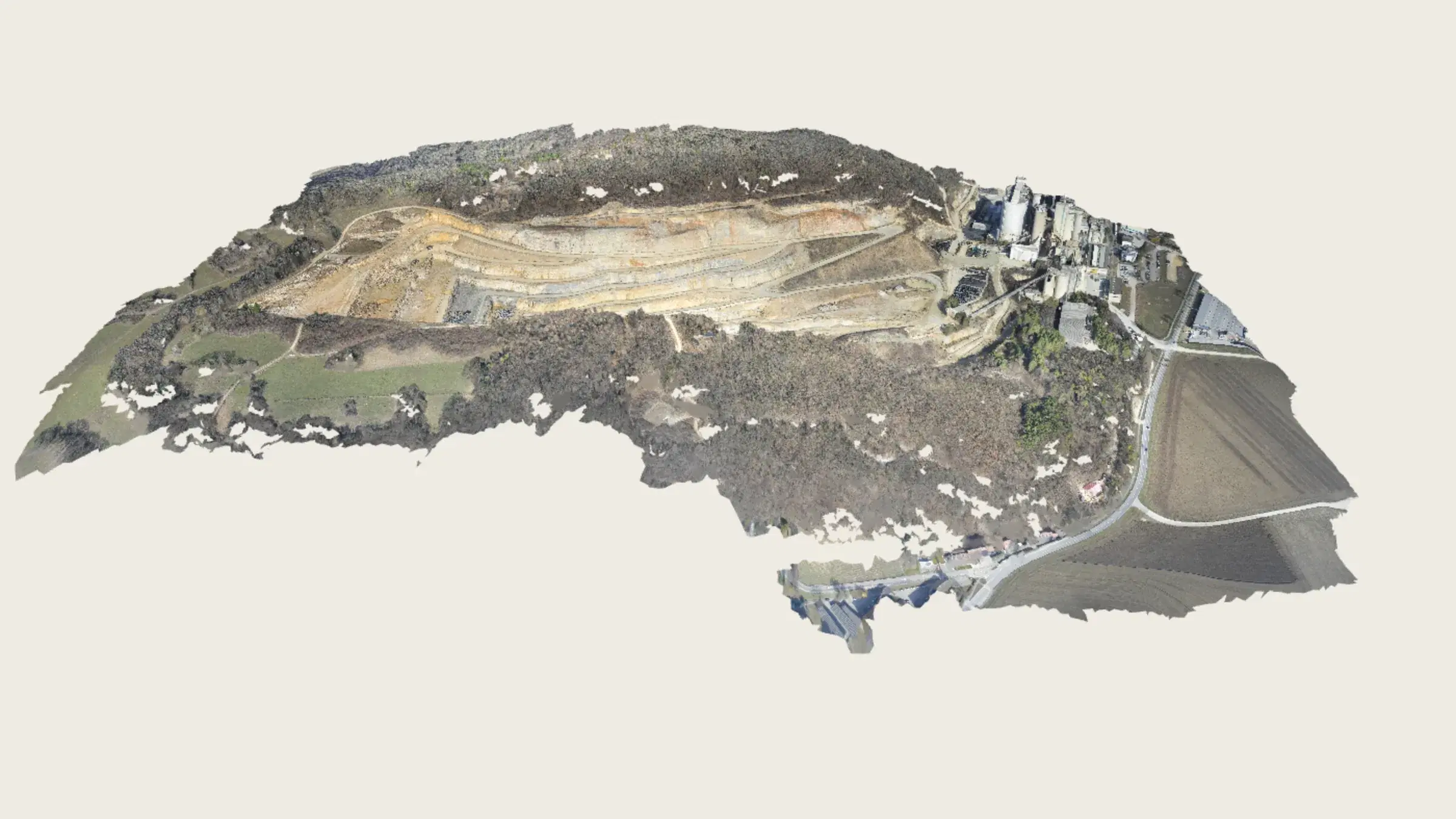
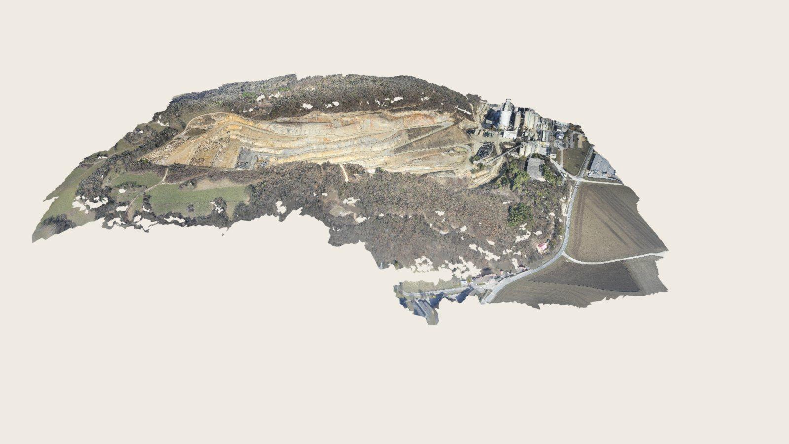
A drone flight becomes an orthomosaic and a terrain model you can measure, compare and share, and a 3D mesh to look round.
Typical ground resolution from a standard mapping flight.
Volume agreement against an analytic solid in our own test suite.
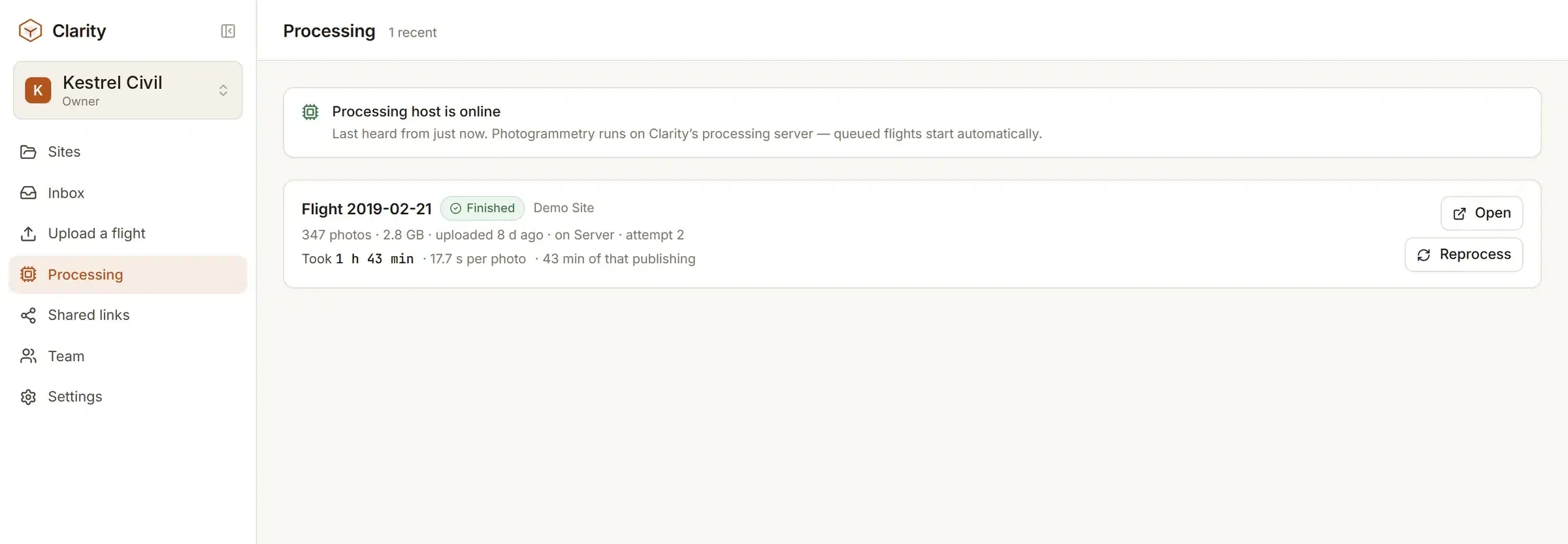
From a 175-photo flight to published layers, hands off.
On a paid plan, measurements and surfaces leave in a format your engineer opens.
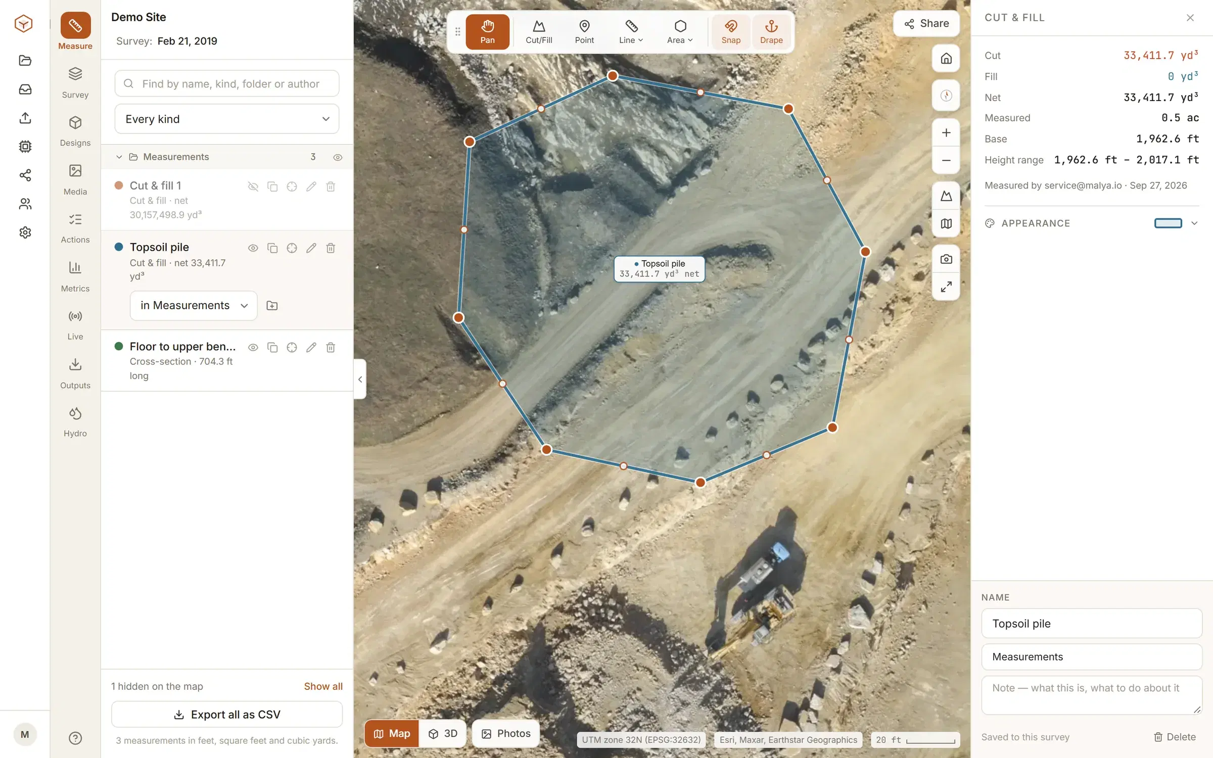
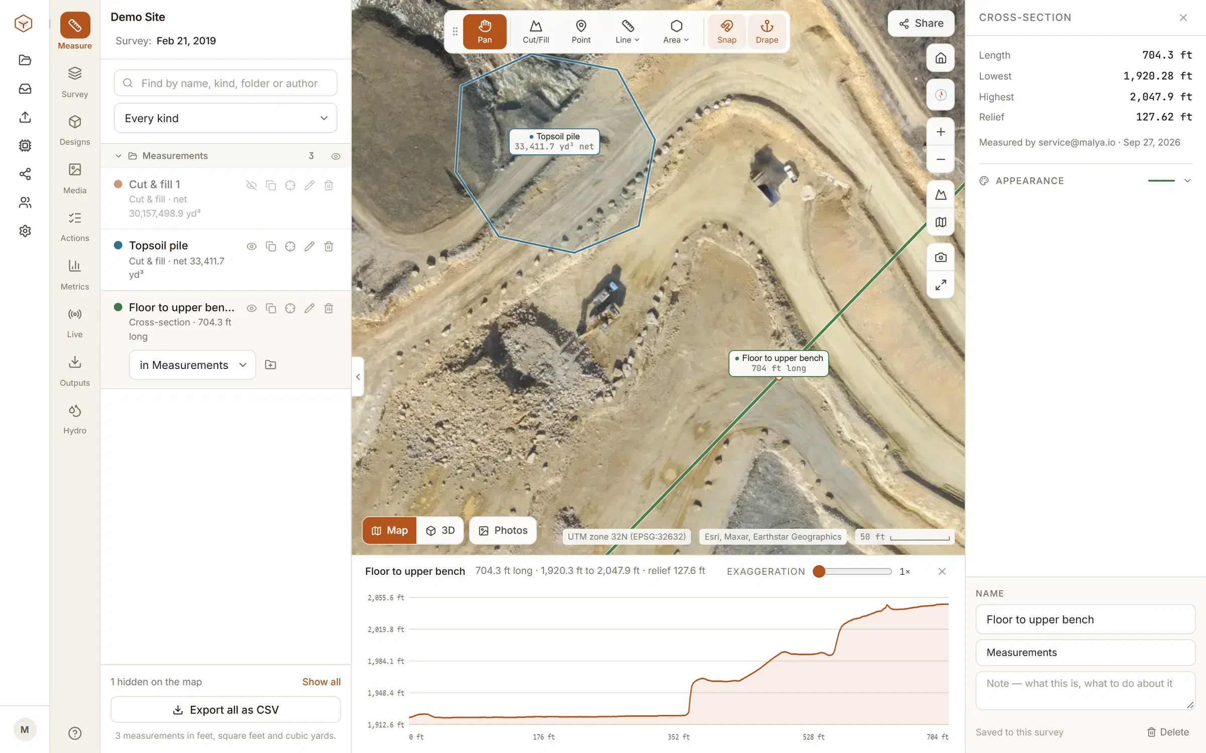
Everything you'd open a desktop package for, in a browser tab.
All of it on the same terrain model, none of it needing a licence or a GIS course first. Measurements, surfaces and layers export on a paid plan.
Three steps, and the middle one runs itself.
Most survey software asks you to become a GIS technician first. Clarity asks for the photos.
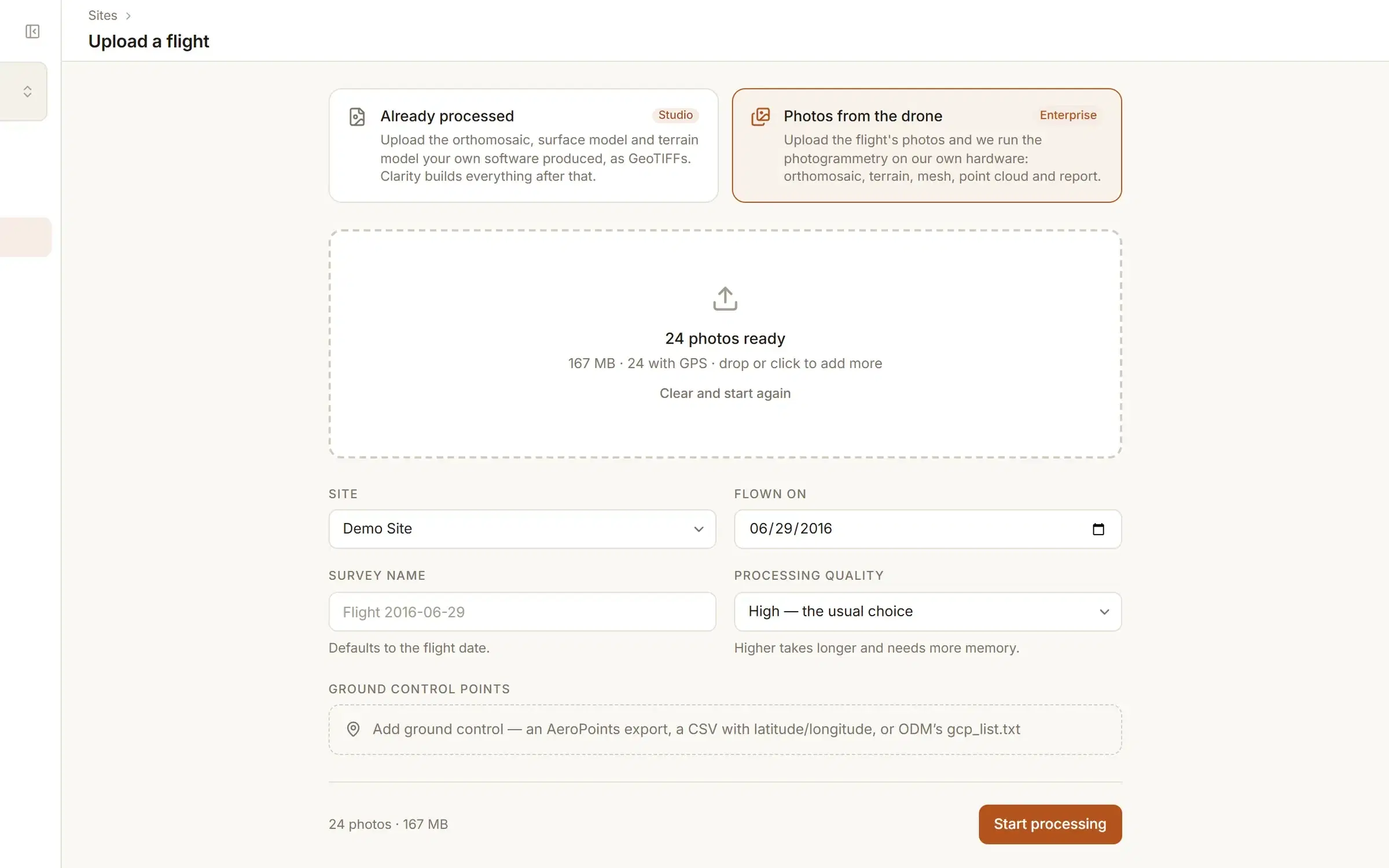
- 1Upload the flightDrop the folder of photos straight off the drone, GPS tags and all. Or, if your own software already made them, the orthomosaic and terrain models as GeoTIFFs.
- 2It processes itselfPhotogrammetry runs on our processing server and publishes the orthomosaic, terrain, point cloud and mesh. You get an email when it lands.
- 3Measure and shareOpen the site in the browser. Measure a stockpile, drop a cross-section, compare against last month. Send anyone a link, no account needed at their end.
Processing the photos is part of Enterprise, or credits on Studio. Studio on its own starts from an orthomosaic and terrain model you already have. How drone image processing works.
The base is the whole argument.
Any tool can add up what sits above a plane. The question that decides whether a stockpile number survives a disagreement is which plane.
The common shortcut is one flat level under the whole pile. On a pile standing on a slope that level cuts into the hillside, and the wedge of ground under the heap is reported as material. In our own test, on ground falling 1 in 20, that ran 68% high.
In Clarity you choose the base and it is shown with the result: the lowest point, a level you type, levels at the corners, a design surface, an earlier flight, or a plane fitted to the ground along the boundary you draw. Drawn just outside the toe, that plane lies on the slope. Checked against a solid whose volume is known by formula, it lands within about a percent.
Every volume shows the base it used and the area it measured, so a number can be checked and not just taken on trust.
More on how stockpile volumes are measured, and on cut and fill against a design surface.
- One flat level, at the lowest point
- 3,509 m³
- 68% high
- Plane fitted to the ground round the toe
- 2,094 m³
- within 1%
- Analytic answer for the solid
- 2,094 m³
- known by formula
Free on the demo site. $50 a month on yours.
Explore is free forever, on a real quarry, already flown. Studio is up to five sites of your own ground, for the whole crew. Enterprise is where we run the photogrammetry, or fly the site for you.
Explore
A real site, already flown, sitting in your account. Measure it, cut and fill it, photograph a defect on it and raise a field quality observation. Every measuring tool, on ground you did not have to fly.
Create an account- A surveyed site loaded and ready
- Distances, areas, grades and cross-sections
- Cut and fill against a fitted plane, a level or the lowest point
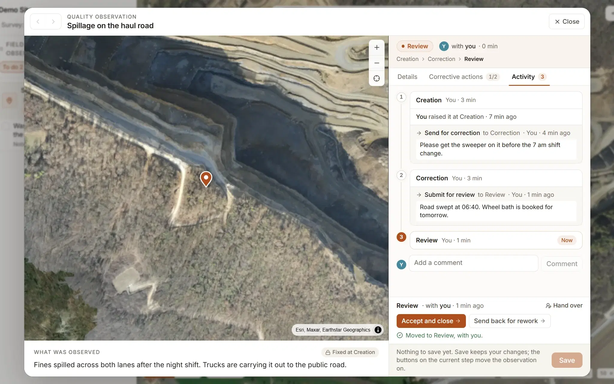
- Site photos and field quality observations, on the ready-made workflow
- Quality surveillance against the ready-made checklist
- 3D mesh, contours and terrain colouring
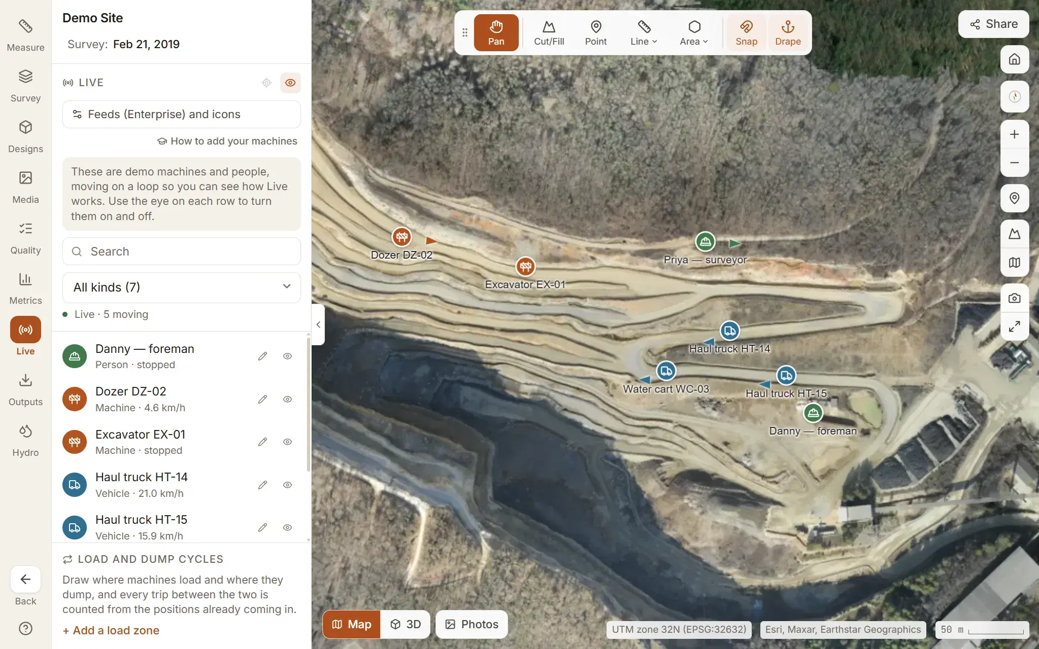
- Live tracking, with a demo fleet moving on the site
- Step-by-step training guides, with pictures
- Sites
- The demo site
- Flights
- Already flown
- Storage
- None needed
- People
- 1
Studio
Your own ground, up to five sites. Bring the orthomosaic and the terrain models your processing already produces, as GeoTIFFs, and put your whole crew and your client on them.
Start on Studio- Every measuring tool in Explore, on your own sites
- Upload your own orthomosaic, DSM and DTM (GeoTIFF, up to 5 GB a file)
- Up to five sites, unlimited flights on each
- The timeline: slide through every flight of a site, or fade, swipe and difference two dates
- Cut and fill against a design surface
- Field quality observations and corrective actions, on a workflow you design
- Quality surveillance on your own checklists
- Invite your whole crew, no charge per person: surveyors, viewers, admins
- Share links for people with no account
- DXF, LandXML, CSV, GeoJSON and Excel export, and every layer as a file
- Sites
- Up to 5
- Flights
- Unlimited
- Storage
- Fair use
- People
- Unlimited
Enterprise
Send us the photographs, or send us to the site. We run the photogrammetry and hand back the orthomosaic, terrain model, mesh and report. Priced by how often you fly, in credits that pool across your sites.
Talk to us- Every measuring tool and everything else in Studio, on as many sites as you run
- Field quality observations, corrective actions and quality surveillance, on your own workflows and checklists
- The timeline across every flight of every site, and cut and fill against your design surface
- Photogrammetry from raw photos: you fly, we process
- Surveying on request: we bring the drone, the pilot and the ground control
- Ground control, GCP fitting and accuracy reporting
- Live tracking of your own machines and people, from a database, an API or devices
- Ground control read in your own EPSG code
- Onboarding, and a named person to call
- Sites
- Unlimited
- Flights
- Yours or ours
- Storage
- By agreement
- People
- Unlimited
Explore is free and stays free: a real quarry, already flown, to try every measuring tool on, with no card and no expiry. Studio is $50 a month for up to five sites of your own ground, with no charge per person. That is a limited-time price: it will go up for new subscriptions, and one you already hold is not raised without 60 days’ notice. Enterprise is where we run the photogrammetry for you, or fly the site as well, priced by how often you fly rather than per site or per seat.
The questions we get asked first.
What do I need to fly?
Any drone that writes GPS position into the photos. A Mavic or Phantom is plenty. Fly a normal mapping grid with about 75% overlap. Ground control points make the result survey-grade, but you do not need them to get a usable model. Or nothing at all: on Enterprise we can fly it for you.
Does Clarity process drone images, or only show them?
Both. Studio starts from the orthomosaic and terrain models your own software has made, as GeoTIFFs. Processing raw drone photos into an orthomosaic, surface and terrain models, a point cloud and a mesh is part of Enterprise, and a Studio organisation can add processing credits on its plan page.
Can you fly the site for us?
Yes. Enterprise includes surveying on request: we bring the drone, a licensed pilot, RTK positioning and the ground control targets, fly the whole site, and the flight is on the platform the same day. It is priced with the rest of the contract, by the size of the site and how often you want it flown, so ask when you get in touch.
How long will Studio stay at $50 a month?
It is a limited-time price and we expect to raise it for new subscriptions; no date has been set. If you subscribe now you pay the price shown when you subscribe, and under our terms we will not raise the price of a subscription you hold without telling you at least 60 days beforehand.
How is Enterprise priced?
By how often you fly, not per site or per seat. Processing is metered in credits that pool across your whole organisation: one credit covers 100 photos of up to 24 megapixels, so a normal 1,000-photo flight is ten, the count is shown before a job starts, and a failed job costs nothing. Packs are sized to your cadence, from a site flown monthly up to several flown weekly. Ask us and we will quote the packs the same day.
How long does processing take?
A 150 to 200 photo flight is usually done inside an hour. Larger sites scale roughly with photo count. Once the upload finishes you can close the tab: the flight appears in your site when it is ready, and we email you.
How accurate are the volumes?
Against a solid whose volume is known by formula, Clarity lands within about a percent. Against the real world, the limit is your flight: resolution, overlap and whether you used ground control. Every volume shows the base it used and the area it measured, so you can check the number. Comparing two flights asks one thing more: both have to be on the same heights, which means ground control, RTK or PPK each time you fly. Without it every flight stands at a level of its own. When you difference two flights, or measure one against another, and they sit more than about half a metre apart as a whole rather than in places, Clarity says so beside the result.
Can I bring a design surface in?
Yes, on Studio and Enterprise, as LandXML or DXF. Cut and fill and the difference map run against it, with a deadband you set.
What happens to my photos?
Your originals are kept privately in your account for seven days after the flight finishes processing, so it can be run again without uploading twice, and are then removed. The finished survey stays for as long as you keep it, and the copy used for processing is removed as soon as processing ends.
Who can see my sites?
Only people you invite into your organisation. Every one of them can see every site, unless an admin restricts a site to the people assigned to it. Separation is enforced in the database rather than in the interface. Share links are the one exception, and they exist only when you create one and stop working when you revoke it.
Can I get my data back out?
On Studio and Enterprise, always. Measurements as DXF, CSV or GeoJSON; field quality observations as Excel; contours as real DXF polylines at true elevation; surfaces as LandXML; and the orthomosaic and terrain model as the files themselves, with the point cloud where we processed the flight. On Explore the measuring tools are all there; your own sites, designs, sharing and taking files out are what the paid plans add.
What if I want to stop?
Cancel whenever you like. Your plan runs to the end of the period you have paid for, and your sites stay readable afterwards. Export anything you want to keep before the plan ends.
Your next flight could already be measured.
Make an account and try every measuring tool on the demo site. If the number it gives you is not one you would put your name to, tell us why.