An online home for the orthomosaic you already processed
You have the GeoTIFFs. Upload them and the site opens in a browser tab for everyone who needs it: to look at, to measure, and to set against the last flight.
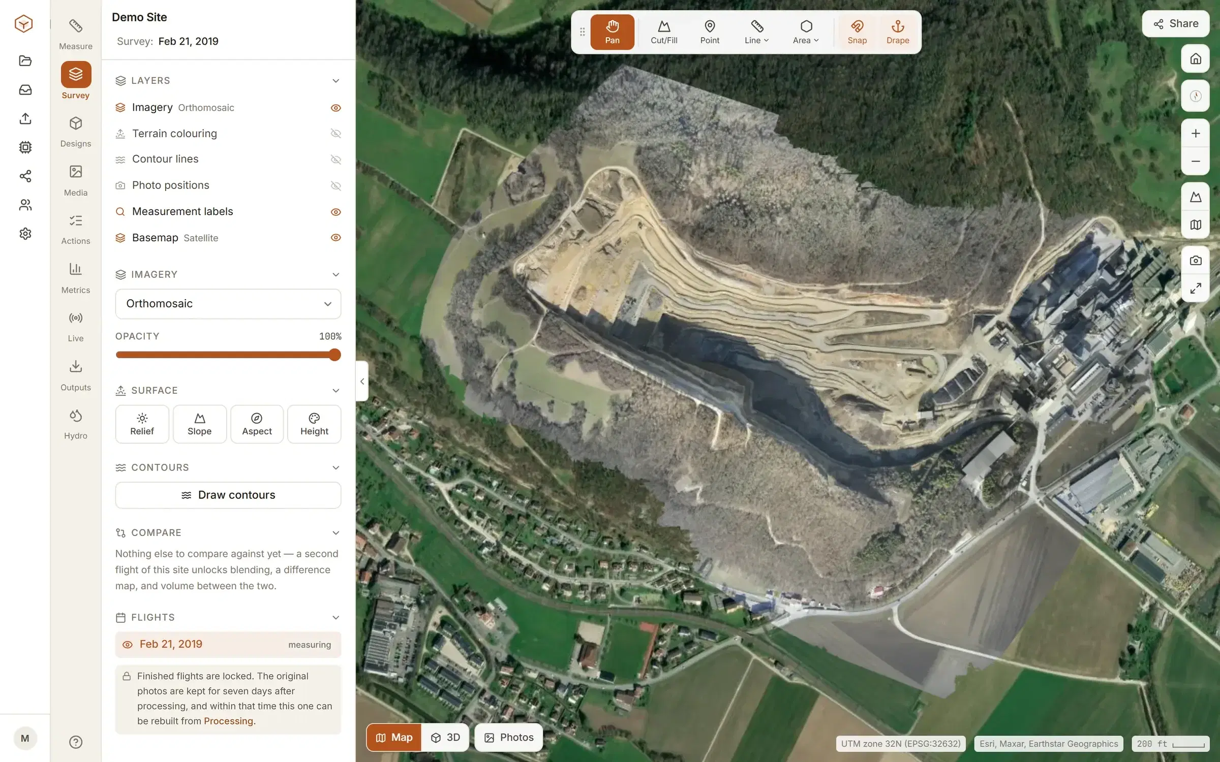
Upload the GeoTIFFs you have.
Whatever made them, they go in the same way, up to 5 GB each. Clarity checks each one is georeferenced before it leaves your machine, then builds the tiles, the terrain and every derived layer from them.
- Orthomosaic
- The georeferenced image of the site. This is the one file that is needed.
- Surface model (DSM)
- Heights including everything standing on the ground. It is what gives the site its terrain: volumes, sections and contours.
- Terrain model (DTM)
- Bare ground, if your software makes one. Optional.
To be plain about it: this route does not process raw photos. It starts from the orthomosaic and the models your own software has already made. If you would rather hand over the photos, that is Enterprise, and both ways in end up as the same site.
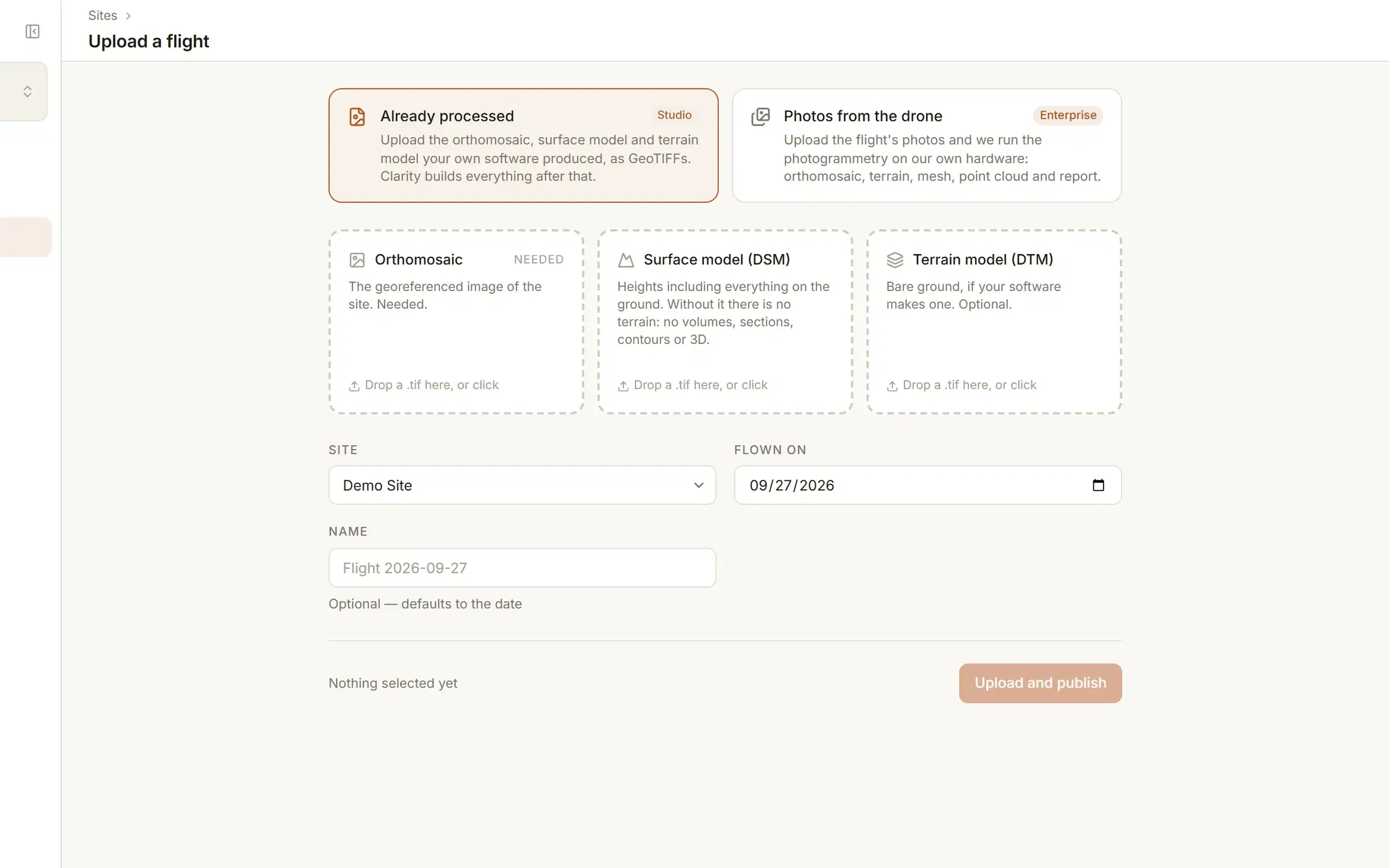
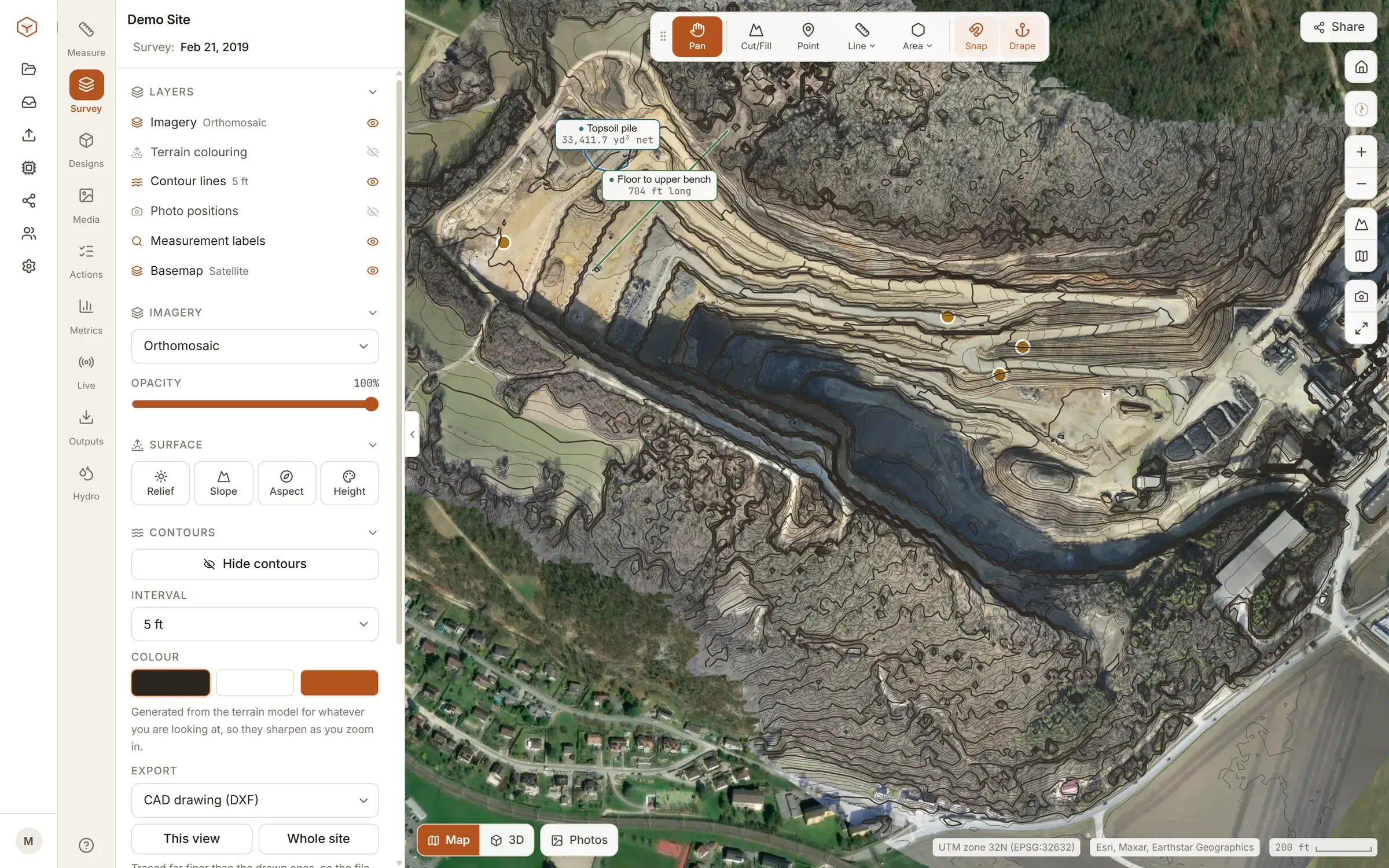
More than a picture to pan around.
With the surface model under it, the orthomosaic is something you can measure. Nothing is read off the picture; every tool reads the terrain.
- Points, distances with a ground profile, areas and grades.
- Stockpile volumes and cut and fill, against the base you pick.
- Cross-sections, and contours at the interval you pick.
- Relief, slope, aspect and height colouring over the imagery.
Each of these is on the Tools page, and two have a page to themselves: stockpile volumes and cut and fill against a design.
A second flight turns the map into a record.
One orthomosaic shows what is there. Two of the same ground show what changed. How flights are compared.
One site, every flight
Upload the next flight to the same site and it joins the timeline. There is no limit on flights per site.
Two dates, side by side
Pick any two flights and drag a divider across them, locked to the same ground.
What moved between them
Difference two flights into a map of where the ground rose and where it fell, with cut, fill and net.
Share a read-only link, or invite the crew.
An orthomosaic is a large file that most of the people who need it cannot open. Here it is an address.
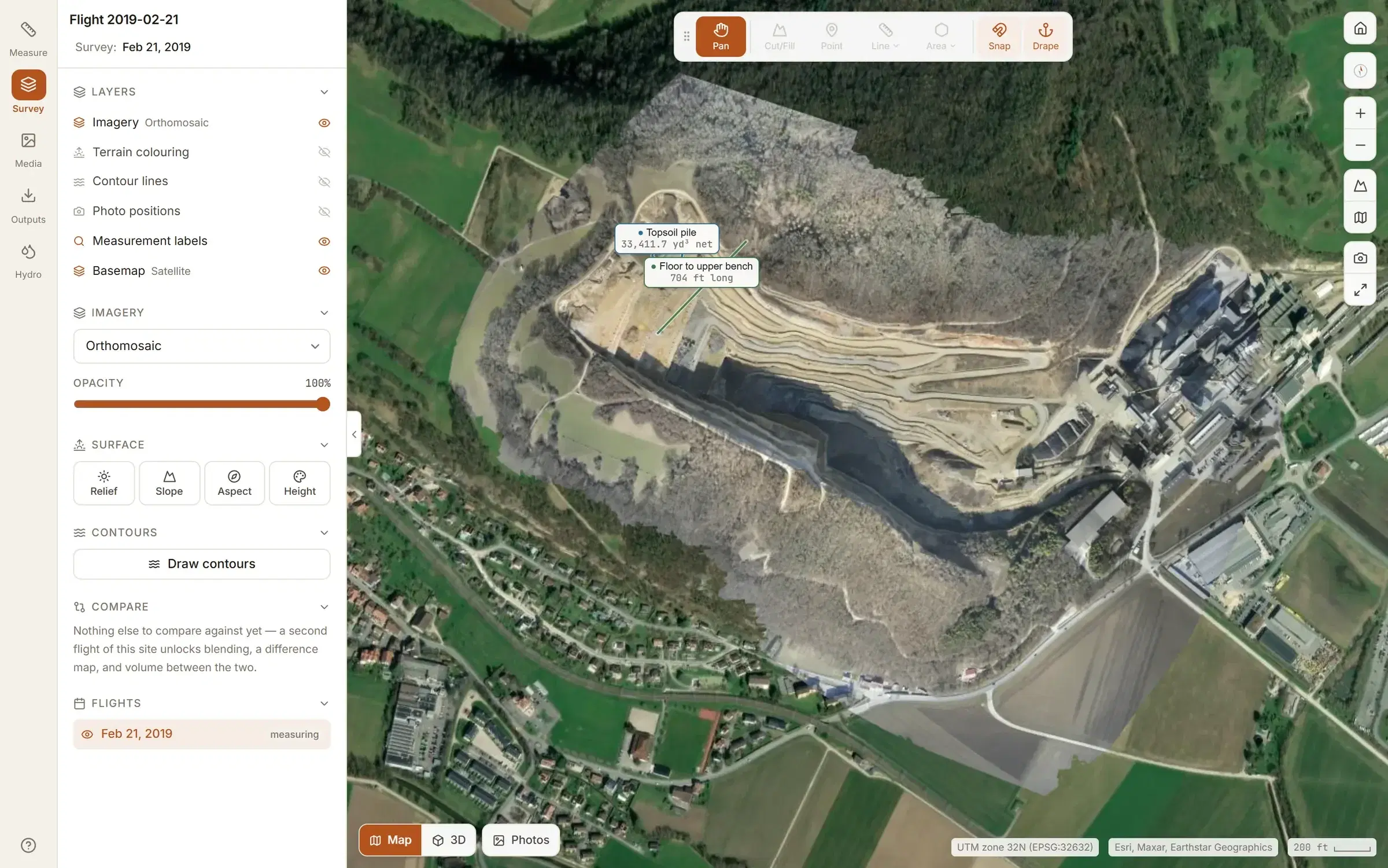
A share link opens one flight, read-only, for anyone who has it, with no account at their end. Set it to expire, or revoke it, and the link stops opening. A map that is already open can keep loading for up to a day.
Four roles, no charge per person
People are invited by email. Everyone invited sees every site, unless an admin restricts a site to the people assigned to it. How sites are kept apart.
- Viewer
- Opens the sites they can see and reads every measurement. Changes nothing, except to move on an observation or tick off a corrective action given to them.
- Surveyor
- Measures, uploads flights, places photos and raises and closes observations.
- Admin
- Everything a surveyor can, plus people, site access, the plan and billing.
- Owner
- Everything an admin can, plus making other owners.
$50 a month, for up to five sites.
That is Studio: one flat charge for the organisation, however many people are on it.
Five sites, unlimited flights on each. Delete a site and its place is free again. Your files come back out when you want them: the orthomosaic and terrain models as GeoTIFFs, measurements as CSV, GeoJSON or DXF, contours as DXF at true elevation.
Explore is free and has every measuring tool, but on our demo site only. You cannot upload your own data on Explore; it is there so you can judge the viewer before you pay for it.
What each plan includes, row by row.
Open our orthomosaic before you upload yours.
The demo quarry is in every new account, free. See pricing for your own sites.